West Rail Line
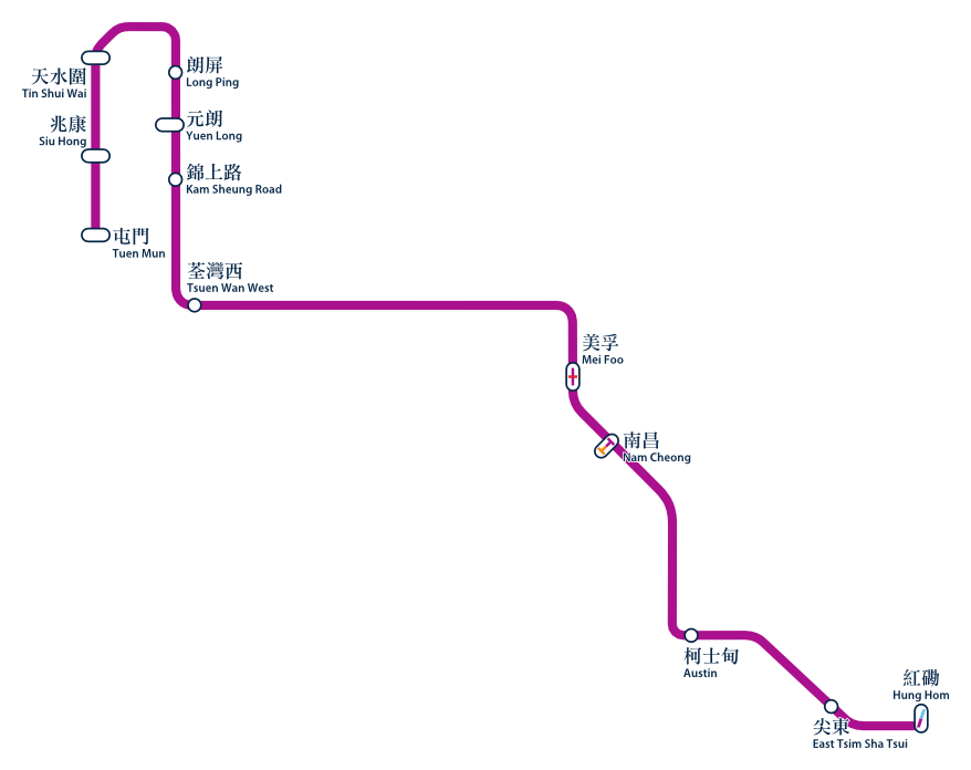
The second line I did was the West Rail Line. It starts at Hung Hom Station and goes north all the way to Tsuen Mun. Below is the route map for the line. This line was quite tough to do. In order to get from Tsuen Wan West to Kam Sheung Road I had to cross Tai Mo Shan, the tallest hill in Hong Kong. This really took it out of me and by the time I got over the hill I was exhausted, but I still had six stations to complete.
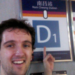
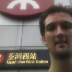
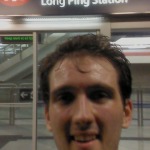
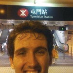
These are the photos I took at each station. The face in the Kam Sheung Road picture is the face of exhaustion having just done 455 metres of climbing. The faces get gradually happier closer the the end as I become more confident that I would make it.
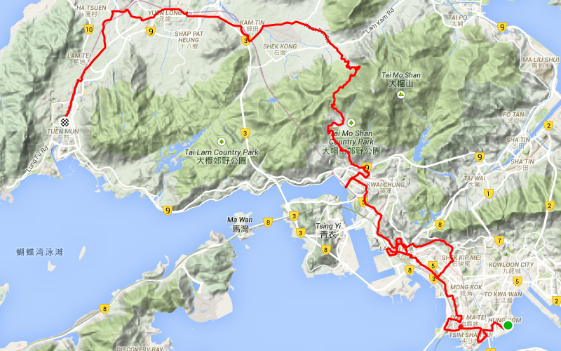
The final route I took is shown here. There’s a big loop around Mei Foo station as I missed the entrance to the station and carried on to the highway and had an unintentional trip up towards Sha Tin Heights – an extra 10 km and 30 minutes I didn’t need to do! The final stats were:
- 65.8km
Distance
- 3:25:07
Moving Time
- 1,585m
Elevation
The previous line was the Ma On Shan Line, the one after this was the Kwun Tong Line and if you haven’t already have a look at my inspiration for this MTR Cycling Challenge.








Comments